Kerala Forest Cover Data Discrepancy: 7 Contradictory Reports in 14 Years Trigger Huge Crisis for Western Ghats Settlements | September 14, 2026 – Channel Today News
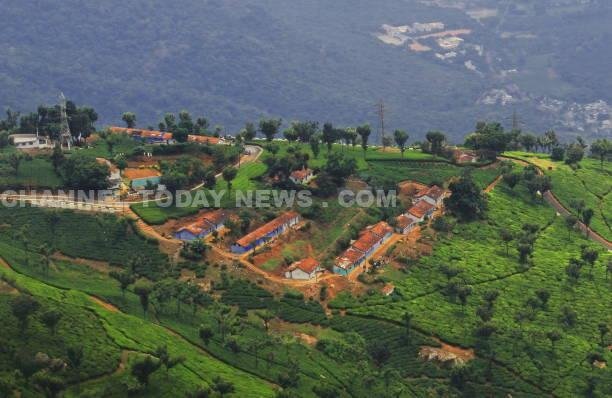
Kerala Forest Area Statistics Dispute

Kerala Forest Cover Data Discrepancy
Statistical Anarchy in Kerala’s Forest Department: Seven Conflicting Reports in 14 Years Leave Central Panels Stunned; Lack of Ground-Truthed Land Records Puts Western Ghats Agrarian Settlements at Serious Legal Risk
KOCHI : In an administrative blunder of staggering proportions with far-reaching socioeconomic consequences, the state of Kerala has found itself in an indefensible position before the Union Ministry of Environment, Forest and Climate Change (MoEFCC). At the heart of the standoff lies a fundamental, unresolved question: exactly how much forest land exists within the borders of Kerala? Between 2012 and 2026—a span of 14 critical years during which environmental regulations were tightened nationwide—the Kerala Forest Department submitted seven separate, widely divergent acreage figures to central authorities, exposing a total collapse of cadastral mapping and departmental coordination. Kerala Forest Cover Data Discrepancy
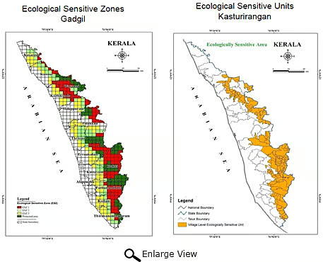
This persistent statistical confusion has completely undermined Kerala’s official legal standing in the Supreme Court of India and before statutory national panels evaluating the final boundaries of Ecologically Sensitive Areas (ESAs) in the Western Ghats. By mechanically forwarding desk-compiled estimates instead of conducting empirical, ground-truthed physical surveys, state authorities have inadvertently turned settled farming townships and revenue lands into contested green patches on paper. An exhaustive investigative analysis of state records by Channel Today News uncovers a history of arbitrary modifications, clerical inflation, and shifting goalposts that have pushed high-range farming families into chronic existential anxiety.
The Latest Paradox: Forest Statistics 2024 Contradicts Past Submissions
The extent of the administrative disconnect became glaringly evident with the publication of the Kerala Forest Statistics 2024, officially made public in August 2026. The new compendium reports that forest areas are spread across 448 revenue villages, pegging the state’s gross forest extent at 11,536.251 square kilometres. Kerala Forest Cover Data Discrepancy
While the department presented this document as an updated baseline, it effectively serves as an unwitting official confession that the key datasets Kerala relied on for over a decade were fabricated or deeply flawed. In earlier submissions defending state interests against the draft Western Ghats notifications, the Forest Department had adamantly maintained that just 123 designated ESA villages contained 9,107 square kilometres of forest. If 123 villages alone held 9,107 square kilometres, expanding the enumeration to 448 villages while arriving at a total of only 11,536 square kilometres completely unravels the spatial math previously submitted to New Delhi.
അനുബന്ധ വാർത്തകൾ


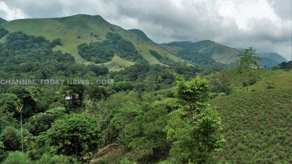
The Gadgil Era Baseline: Numbers Bereft of Geo-Referencing
The chronology of conflicting submissions began in the wake of the landmark Western Ghats Ecology Expert Panel (Gadgil Committee) report:
- The 2012 Statistics: The Kerala Forest Statistics 2012 recorded the state’s total forest area at 11,309.47 square kilometres. This comprised 9,176.3026 sq km of Reserved Forest, 295.378 sq km of Proposed Reserve, and 1,837.75 sq km of Vested Forest. None of these sub-classifications were accompanied by geo-tagged perimeter coordinates or ground-validated plot verifications. Kerala Forest Cover Data Discrepancy
- Archival Notifications vs Living Realities: The statutory definition of a forest requires an official gazette notification defining clear geographic limits. Successive administrations routinely cited archaic Royal Travancore and British Malabar notifications dating from 1800 to 1902. Over a century later, vast swathes within those century-old boundary sketches had transformed into densely populated agrarian belts, market centers, and human settlements holding legal revenue documentation.
Kasturirangan Review and the Genesis of the 123-Village Grid
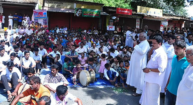
Following widespread public protests across the eastern hill tracts over the High-Level Working Group (Kasturirangan Committee) recommendations, the Kerala government instituted an expert panel headed by Dr. Oommen V. Oommen. To inject transparency, multi-departmental committees consisting of revenue, agriculture, local self-government, and survey officers were established at the panchayat level to identify human settlements and separate them from actual contiguous wilderness. Kerala Forest Cover Data Discrepancy
The empirical cadastral maps drafted by these local bodies were uploaded to the portal of the Kerala State Remote Sensing and Environment Centre (KSREC). The physical verification concluded that the 123 disputed ESA villages encompassed 8,483.05 square kilometres of total forest canopy—consisting of 7,595.67 square kilometres of natural forest and 887.38 square kilometres of commercial forest plantation. This was the first verifiable dataset built on multi-departmental scrutiny.
The Bureaucratic Override: 2014 and 2015 Arbitrary Revisions
Despite the ground-level data assembled by the panchayat committees, high-ranking forest bureaucrats discarded the field findings in subsequent communiques: Kerala Forest Cover Data Discrepancy
- The 2014 Addition: In 2014, the Head of Forest Force (HoFF) formally advised the state administration that the forest expanse across the identical 123 ESA villages was not 8,483 sq km, but rather an inflated 9,993.7 square kilometres. This clerical amendment instantly added over 1,500 square kilometres of territory to the forest category without a shred of documentary field evidence or cadastral justification.
- The 2015 Recalibration: Barely a year later, in June 2015, the same administrative office issued an official dispatch to the Principal Secretary of the Department of Environment, revising the figure downward to 9,107 square kilometres. How 886.7 square kilometres of land vanished or re-emerged within 12 months inside the same 123 villages remains completely unanswered on state files.
Plantations, Revenue Pattas, and the Cardamom Hill Reserve Entanglement
The root cause of these wild administrative discrepancies lies in the refusal of the Forest Department to reconcile its records with revenue deeds and state land assignments (pattas). When ground verification across the 123 villages once again pruned the actual forest coverage down to 7,129.57 square kilometres, bureaucratic resistance forced an alternate exercise: matching historical reserve boundaries via GPS, which artificially escalated the area to 9,741.4 square kilometres. Kerala Forest Cover Data Discrepancy
In a candid dispatch submitted to the Environment Department, the forest hierarchy was forced to admit that this expansive 9,741.4 square kilometre perimeter was not pristine wilderness. Instead, it indiscriminately aggregated:
- Over 995.13 square kilometres of intensely cultivated private cardamom land within the Cardamom Hill Reserve (CHR) of Idukki district.
- Agricultural lands lawfully assigned to smallholder farmers under the 1970 and 1993 Land Assignment (Regularisation of Occupations of Forest Lands prior to 01-01-1977) Rules.
- Extensive private plantations, long-term commercial leaseholds, and traditional tribal settlements.
The Repercussions for High-Range Communities
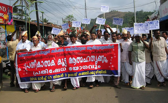
Because the state administrative machinery has consistently failed to present a single, verifiable, and digitally authenticated spatial map, central scrutiny committees have repeatedly viewed Kerala’s submissions with open skepticism. Whenever the state pleads for the complete exclusion of settled habitations from statutory buffer zones, central panels point directly to the state’s own mutually destructive files to dismantle its arguments. Kerala Forest Cover Data Discrepancy
By treating working-class agrarian homesteads and generational revenue lands as nominal reserve forests to inflate department balance sheets, the bureaucracy has exposed ordinary citizens to acute legal insecurity. Channel Today News will continue to publish investigative disclosures regarding this administrative gridlock until a transparent, drone-surveyed white paper on Kerala’s land boundaries is made public.